About the Park

Located in Ashe County 25 miles northeast of Boone, Mount Jefferson State Natural Area surrounds a natural landmark that offers vistas as far as Tennessee from its overlooks and Luther Rock. The mountain, first spotted from the Blue Ridge Parkway, rises abruptly from the surrounding landscape. Over 700 plants call the park home, including the Dutchman's pipevine, which is visited by the beautiful swallowtail butterfly and its distinct black-and-orange-spiked caterpillar. The park's winding road to the summit hosts an annual downhill skateboarding event.
Open
Closed
Upcoming Events
Camping
There are no camping facilities at Mount Jefferson. The closest state park with camping is New River State Park.
Activities
- Hiking (5 miles)
- Picnicking
Amenities
- Picnic shelter
Plan Your Visit
Address
1481 Mount Jefferson State Park Road, West Jefferson, NC 28694
GPS: 36.3936, -81.4680
Current Weather
Note: The temperatures shown are for the town of West Jefferson. The summit at Mount Jefferson State Natural Area is 4,465 feet above sea level, and temperatures may be several degrees colder than shown, so please plan accordingly.
Park Hours
Open 8 a.m. to sunset year-round
Open Monday to Friday from 8 a.m. to 5 p.m.
Photo Gallery
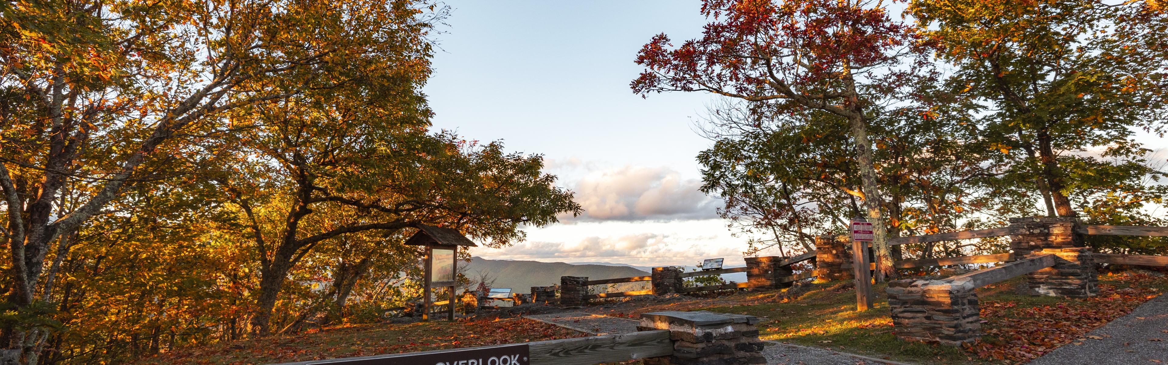
Top: Overlook at sunset, staff photo
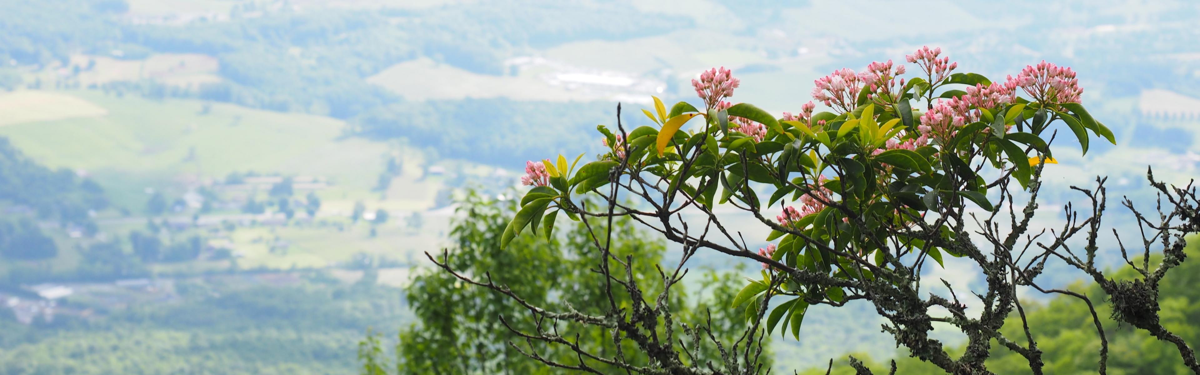
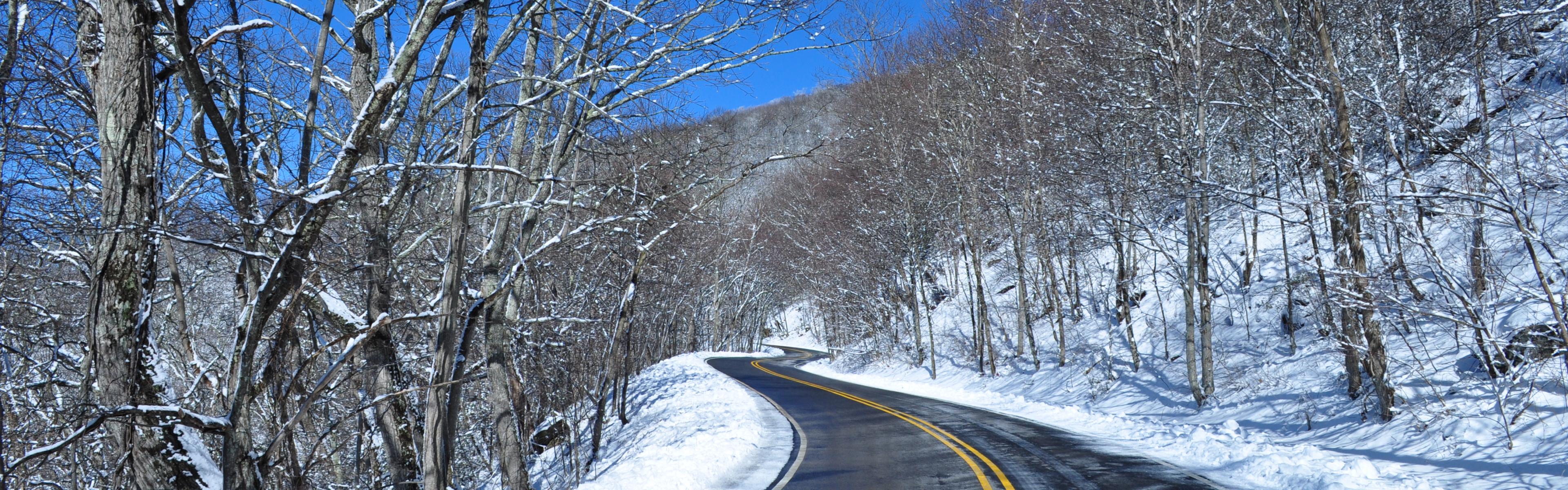
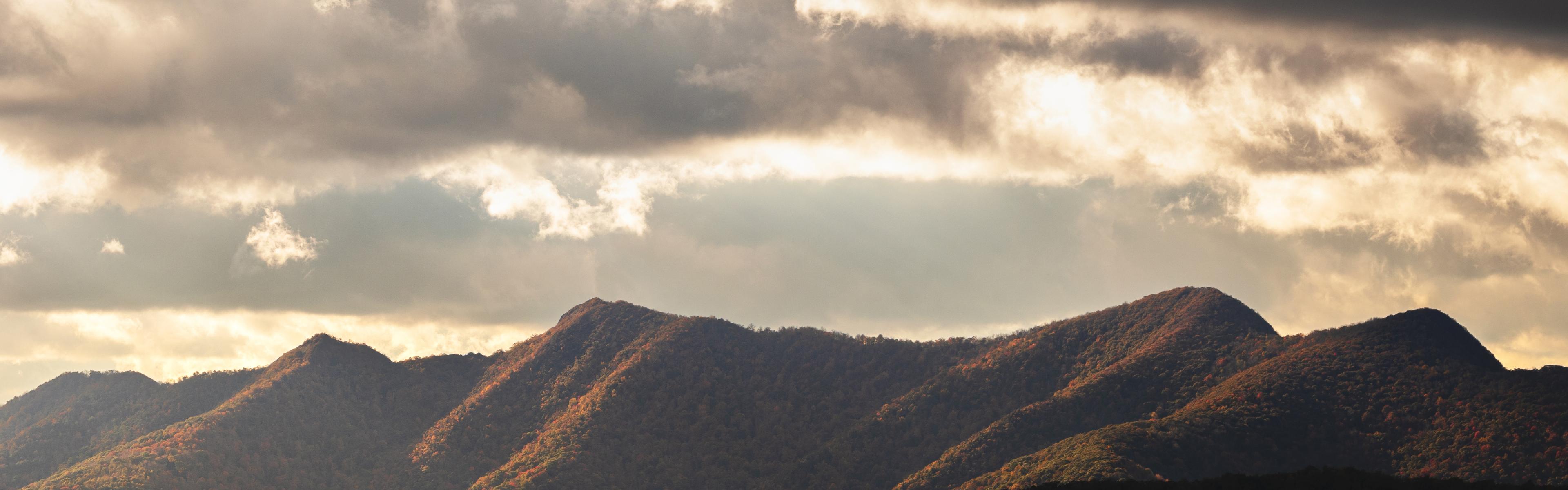
Gallery: Pink wildflowers, staff photo | Jefferson Overlook, staff photo | Snowy road, staff photo | Distant mountains at sunset, staff photo